
Weather Info
Explanations of the tools below and more
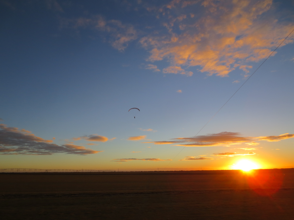
Introduction to weather for ultralight pilots
National Weather Service forecast for Southeast OK
National Weather Service hourly forecast for Southeast OK
Current conditions Mesonet station in Wister, OK
Current conditions at Panorama launch in Talihina, OK
Current conditions at Buffalo Mountain launch in Talihina, OK
Jetstream location from Pivotal Weather
Current conditions at MesoWest weather stations in the Ouachita Mountains
Weather for Aircrews – Basic weather info for non-professionals
SPC balloon soundings (every 12 hours)
University of Wyoming balloon soundings – usually available before the SPC soundings
Windy – animated map of winds and other data over the surface of the world
Wind history map – actual vs. forecasts
Weather Spark – monthly, daily, and hourly graphical reports anywhere on earth
SkyVector Aeronautical Chart – road maps of the sky including TFR's
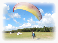
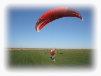
Southwest Airsports features paraglider pilot training and paramotor technical information
Introductory videos and information about paragliding.
Interested in becoming a general aviation pilot? Check out Perserverance Aviation in Poteau, Oklahoma
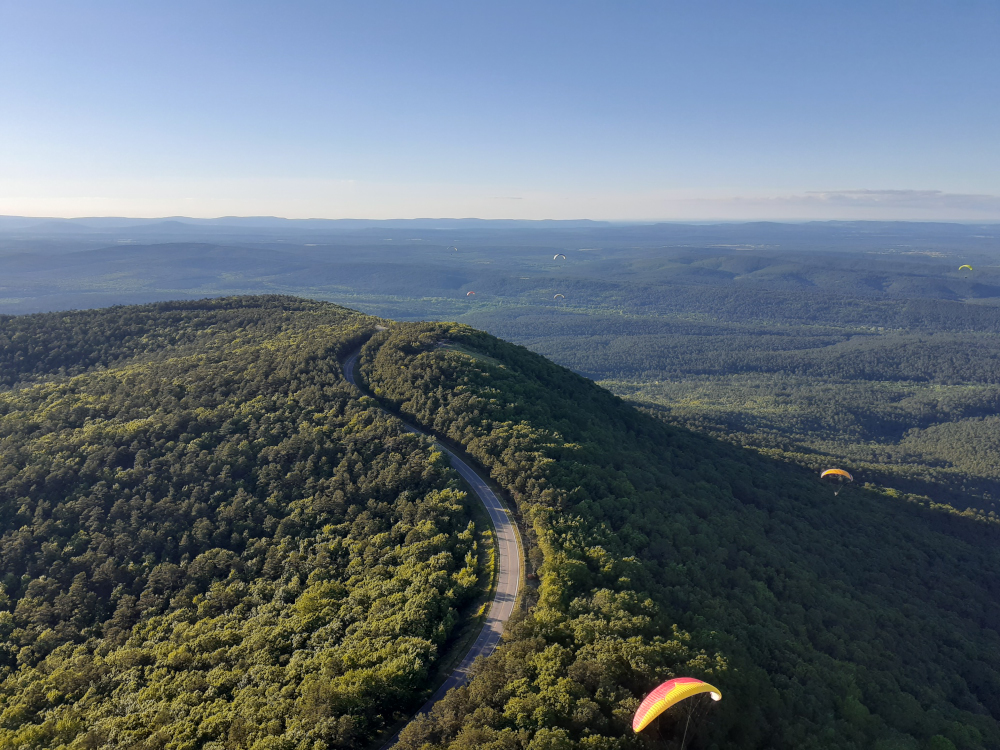
Panorama on Talimena Highway
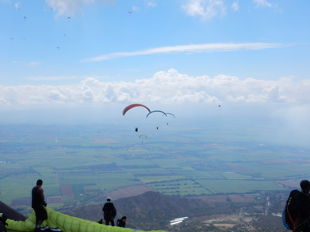
Colombia – where newer pilots can learn to thermal
Southern New Mexico – flying is year round


![]() The content of this website is copyright © 2026 by Southwest Airsports / All Rights Reserved / Worthy is the Lamb who was slain
The content of this website is copyright © 2026 by Southwest Airsports / All Rights Reserved / Worthy is the Lamb who was slain