
Salton Sea PPG fly-in February 4-6, 2011 part ii
Yours truly (Had Robinson) took a long flight up to the north end of the Sea. To make long trips without running out of fuel, you have to use the winds near the surface and winds aloft. It was observed that the winds near the surface were going north at about 7 mph. To get to the north of the Sea more quickly, I flew about 300-400' above the Sea. It was about 15 miles of travel. In order to get back without running out of fuel, I climbed out to about 5,000' over – into the strong winds above us which were going south. My top speed flying back to camp was over 50 mph.
There is a huge bubble of cool air over the Sea which tends to isolate it from winds aloft. BTW, migrating birds do the same thing – work with the winds, not against them.
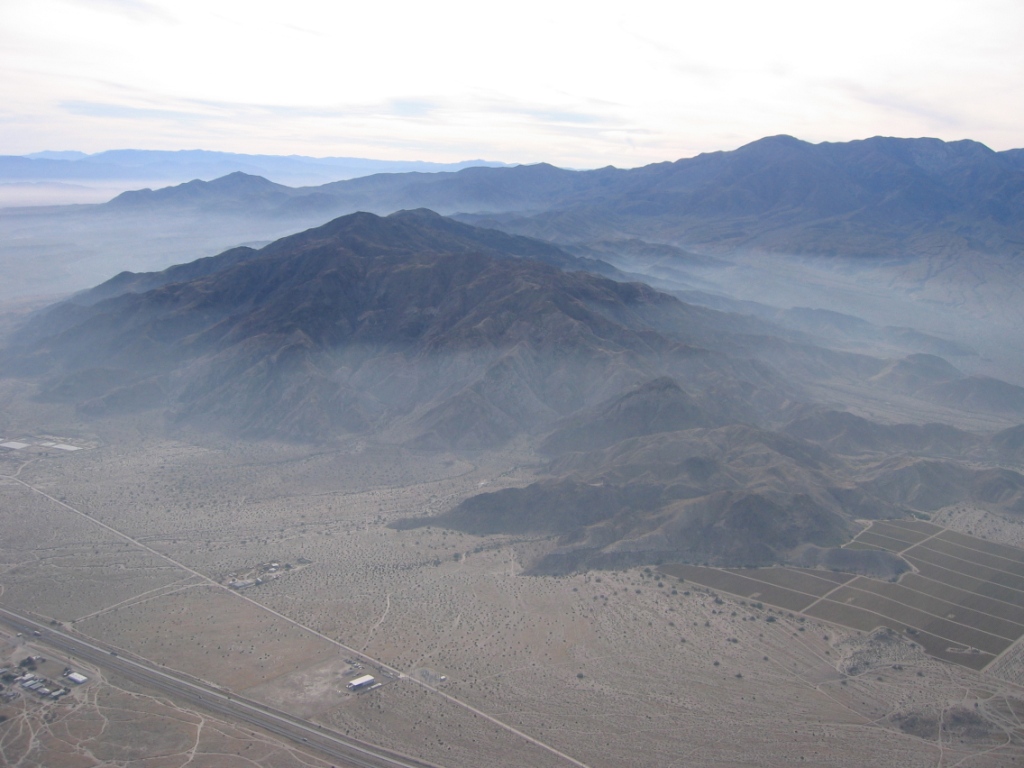
Below is a view of the mountains west of the north end of the sea. The haze is moist air that was cooled by the onshore breeze from the Sea. It is only about 500' thick. This area has many layers of atmosphere.
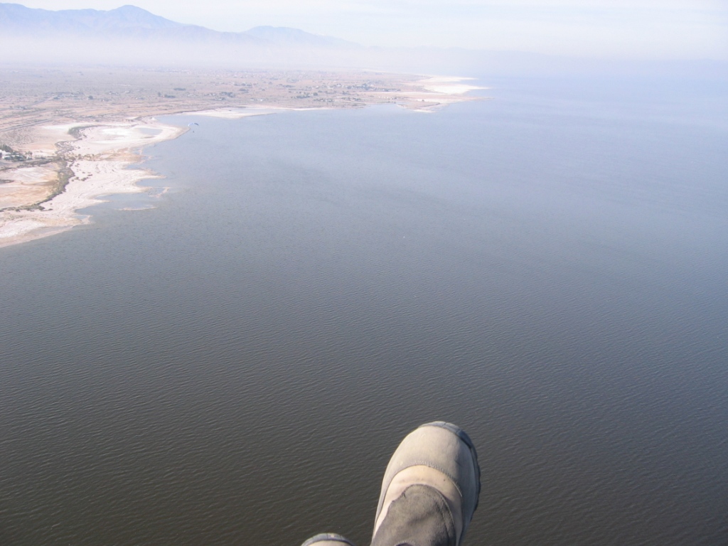
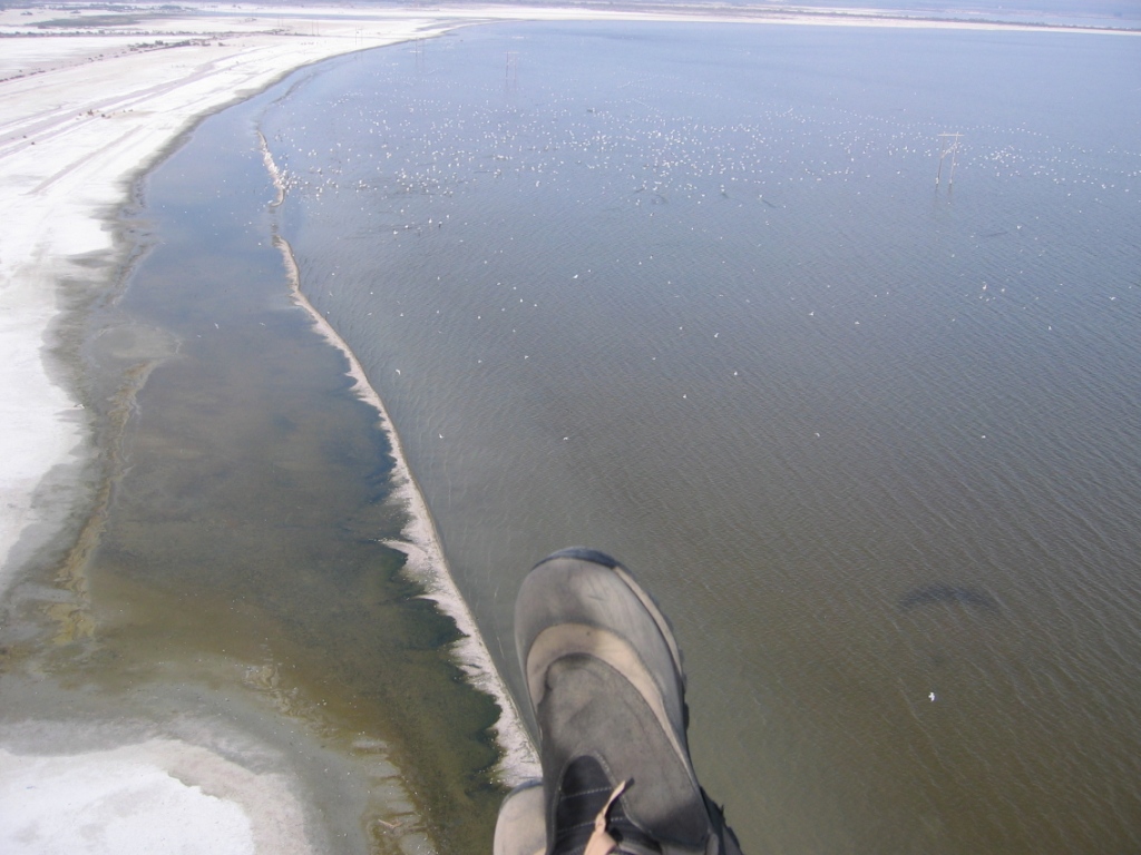
The west shore of the Sea near the north end.
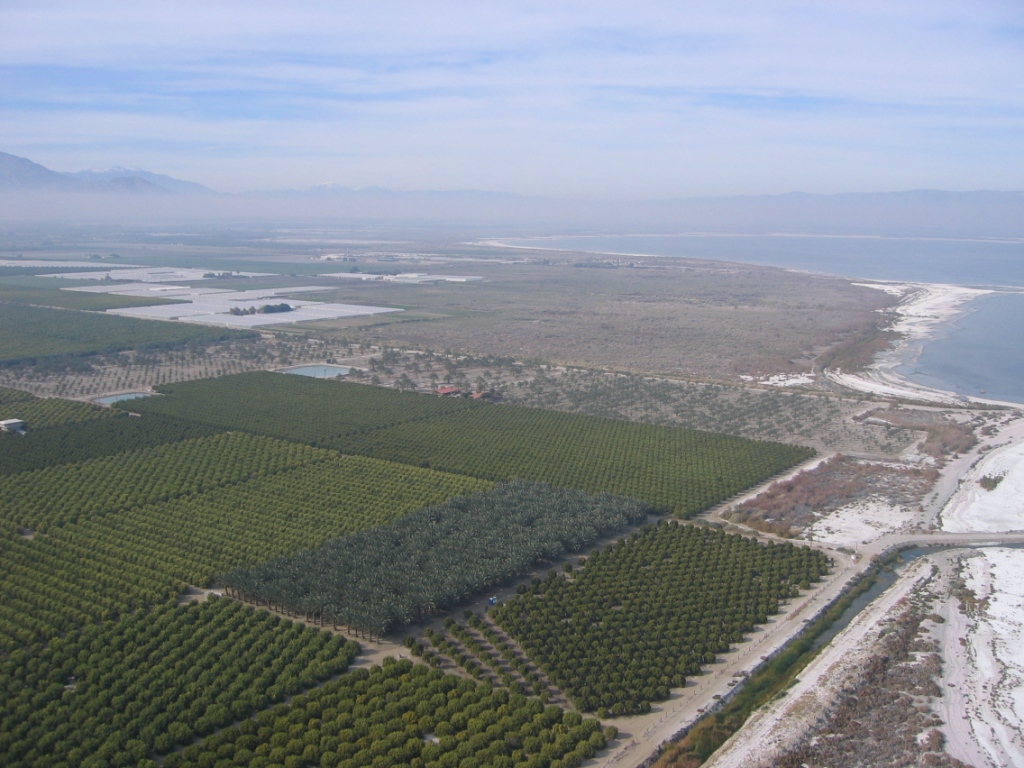
The abundant agriculture which surrounds about half of the Sea. Below are date palm and orange orchards.
The very north end of the Sea – it is not called "Salton" for nothing. Nonetheless, Pelicans love to visit the area. Below are thousands of them.
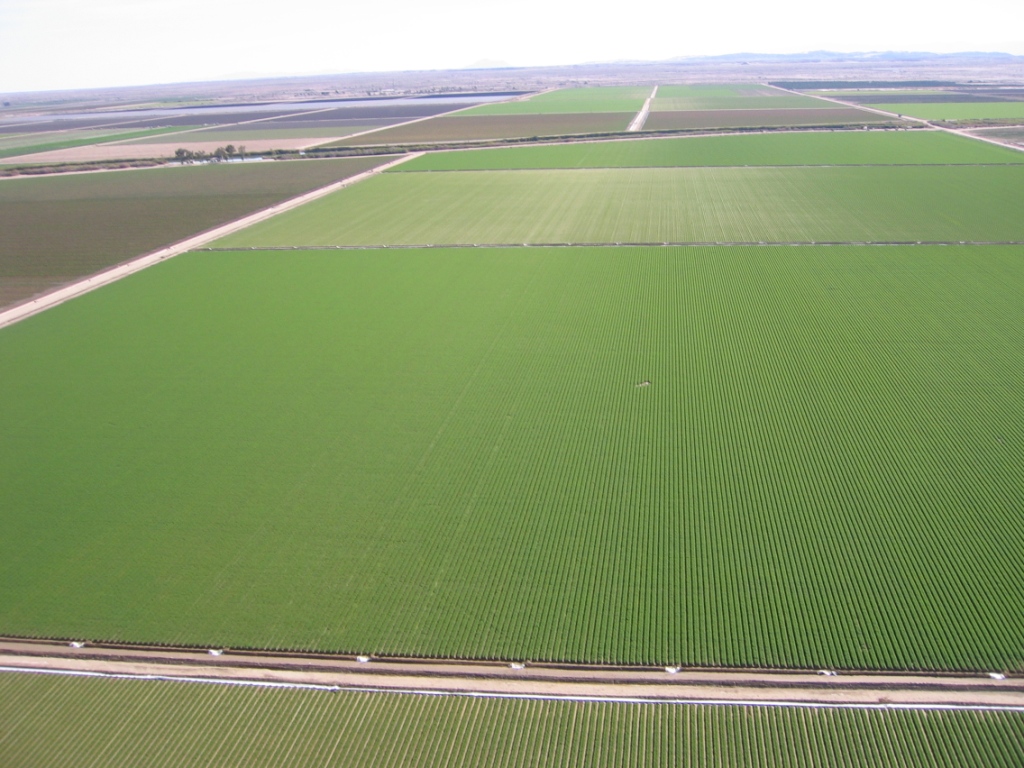
Right adjacent to the Salton Sea is the Imperial Valley – a rich agricultural area. It is hard to believe that the toxic and salt encrusted area of the Salton Sea could have such green next to it. Below is a farm that borders right on the Sea. It is near the southern end of the Sea.
Thank you for viewing the show!
![]()