
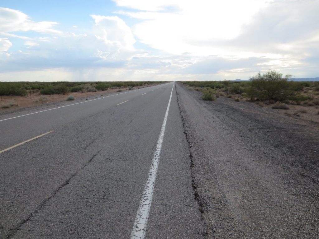
Highway 9 tow area
NOTE: SOME OF THE INFORMATION HERE MAY NOT BE CURRENT
31.817095° -106.745077°
Launching east: there is a large open setup area 10.5 miles west of the junction of Hwy 136 and Hwy 9.
Launching west: setup is the open area just south of the
road at the defunct racetrack, about 3.25 miles west of the junction.
USHPA required notification: The RGSA recommends that you do not fly at this site as it is not a chapter managed site. If you do choose to fly at this site, you must take full responsibility for your actions, and recognize that you are fully and solely liable for any damage incurred by yourself, to others, or to others’ property. This site is unimproved with significant safety issues, including potentially challenging wind and thermal conditions. Flying at this site can be risky to the pilot, property owners, and our sport as a whole. This site is unpermitted, uninsured, unmanaged, and unimproved. This site is, however, an insured training site for Southwest Airsports and is used by its students.
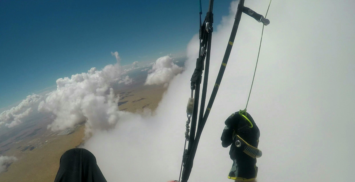
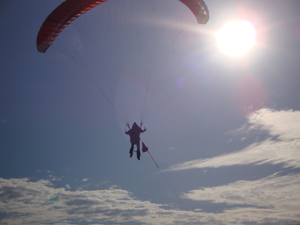
Paragliding above the clouds in southern New Mexico – photo by Steve Crye
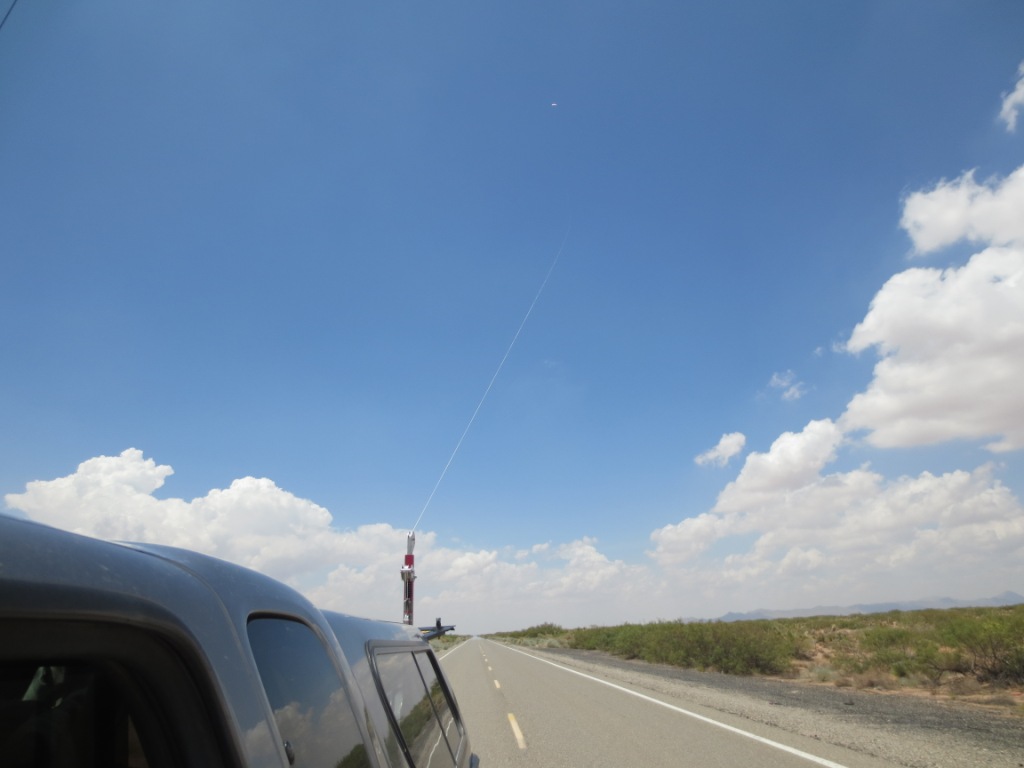
Hwy 9 is the best towing area in the region. The highway is over 55 miles long, has long periods of zero traffic, with no bridges, intersections, crossings, lights, or overhead power lines. This means pilots can safely tow forever in either direction. In over 7 years of towing there have been no problems or accidents.
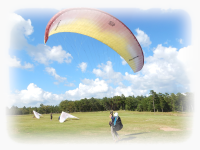
Pilots launch on private land (we have permission) and then are towed up from there along the highway.
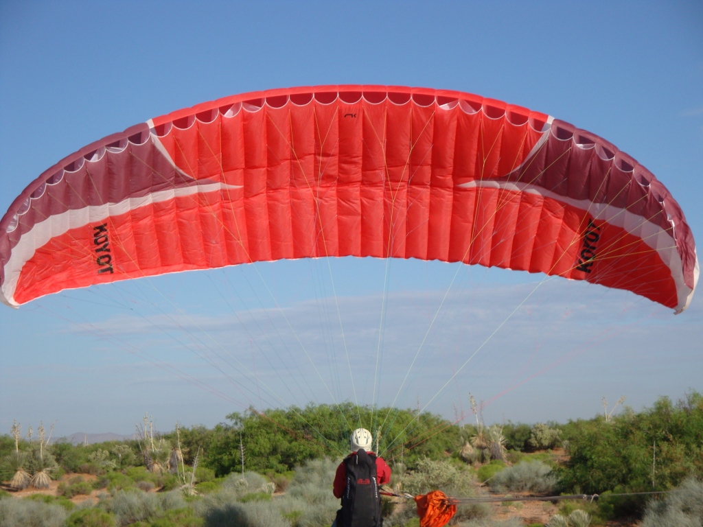
Pilots can tow up to about 10,000' MSL (over a mile above the ground) and set out cross-country in any direction but south. (The US – Mexico border is a couple of miles south of the highway. Landing there means a LONG hike out – to the nearest border checkpoint with all of your gear....) Most pilots should be able to hook thermals at 1,000' AGL but it's fun to have multiple tries by going higher. Thermals will pop off the road continuously during the day but the really big ones happen every 15 -20 minutes or so and can be a mile or more apart.
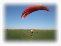
Below, active-duty Army pilot, Brad Gray, getting towed up to 9,000'+. He flew north to a cloud street (to the right in the photo) and went west in the easterly winds aloft, setting a regional XC record of 45 miles landing near Columbus, NM. We only get a handful of days like this each year when conditions are perfect for going a long distance. We cannot easily fly to the east without getting into complicated airspace.
When we tow, other road traffic only sees a slow moving truck with its flashers on, that's it. The pilot is long gone and is invisible.
Brad almost in the clouds in the cloud street that extended for at least 100 miles west of El Paso. Once in a cloud street, there is nothing but lift as the thermals line up. This was an unbelievably good day for XC here in our region.
![]()